How much space is required for ground mounted solar? 1. The Four Key Variables Affecting Land Area. 2. The Hidden “Space Black Holes” Beyond the Panels. 3. Systematic Planning and Compliance: Insurmountable Hard Boundaries
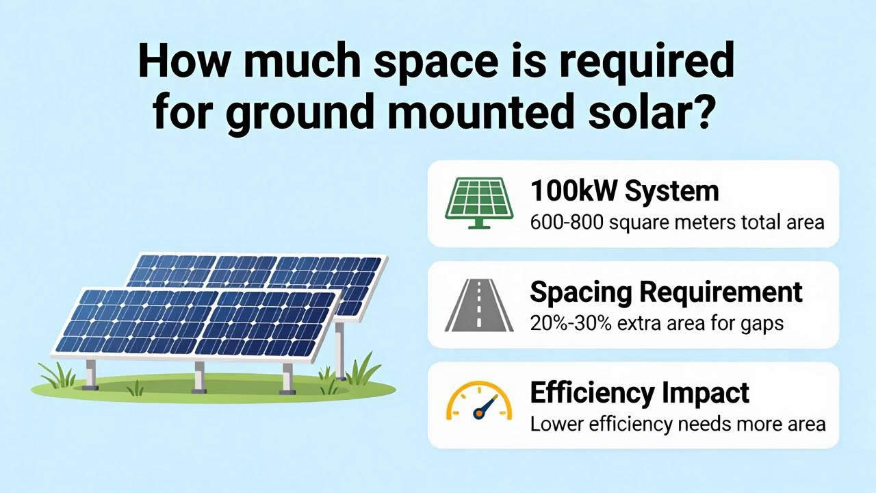
How much space is required for ground mounted solar? For a typical ground-mounted, fixed-tilt solar power plant, each megawatt (MW) of DC capacity requires approximately 4.5 to 6.5 acres (about 1.8 to 2.6 hectares) of land. If you’re planning a 10 MW project, expect to need a gross land area of 50 to 65 acres. However, this is merely a rule of thumb—actual figures can vary significantly depending on latitude, mounting system type, equipment selection, and site topography, with margins of error potentially reaching ±30%. Below, we’ll break down these variables layer by layer from an engineering economics perspective.
The Four Key Variables Affecting Land Area
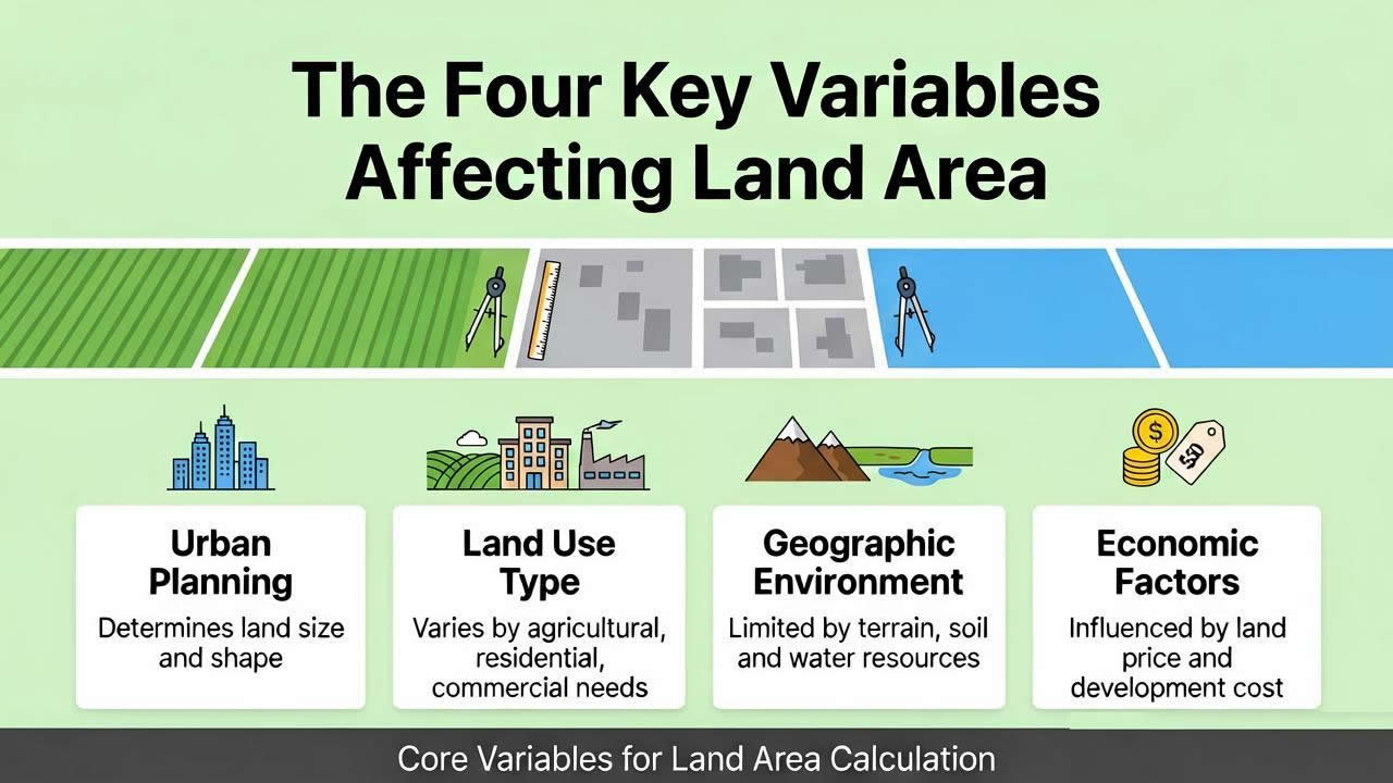
First, four core factors directly determine the final land requirement.
The first is the power density and physical dimensions of the solar panels. Currently, mainstream modules range in power from 400W to 700W, with varying dimensions. High-power modules can accommodate more DC capacity within the same area, but as modules become longer and wider, their wind load characteristics change, potentially requiring adjustments to the mounting foundation spacing; therefore, the land area does not decrease proportionally.
Second is the array tilt angle and mounting system type.
The optimal tilt angle for fixed
ground mounting systems is determined by the project’s latitude—for every 5-degree increase in latitude, the front-to-back shadow avoidance distance may increase by 8%–12%. This “shadow avoidance distance” is most critical around the winter solstice and is typically 3 to 5 times the width of a module. If a horizontal single-axis tracker is used, although power generation can be increased by 15%–20%, its east-west rotation radius and north-south clearance distances typically result in a land area per megawatt that is 15%–25% higher than that of fixed mounting systems.
Third is the electrical equipment layout strategy.
Using centralized inverters with large substation transformers requires reserving independent equipment platforms and hoisting access routes for each array, with each platform occupying approximately 20–30 square meters. While string inverters can be mounted directly on the mounting structures, reducing the need for equipment platforms, they significantly increase the space required for DC cable routing and require more junction box installation points.
Fourth is the site’s microclimate and soil conditions.
In high-wind areas, mounting structure foundations require a larger concrete volume and greater burial depth to ensure pull-out resistance, which increases the projected area of each foundation pier. In snowy regions, sufficient space must be reserved beneath the modules for snow to slide off, preventing snow accumulation from damaging the front-row modules; this safety clearance also widens the spacing between arrays.
The Hidden “Space Black Holes” Beyond the Panels
The projected area of solar panels typically accounts for only 40%–55% of a project’s total area. Where does the rest of the space go? Here are several major space-consuming factors that are easily overlooked.
Maintenance aisles and vehicle turning radii are the primary space-consuming elements. Large-scale projects require regular panel cleaning; cleaning vehicles are approximately 2.5 meters wide, and when safety margins are factored in, aisles must be at least 4.5 meters wide. A vehicle turnaround area with a diameter of at least 12 meters must be provided every 100 meters. These access paths crisscross at the ends and center of the array, consuming a significant amount of space that could otherwise be used for panel installation.
Cable trenches and utility corridors are often downplayed in preliminary designs. Thousands of meters of DC and AC cables must be laid from the string to the combiner box, and then to the inverter and step-up station. Directly buried cable trenches require a safety clearance of 0.5 meters on each side, while overhead cable trays require concrete pillar foundations. When added together, these linear land requirements can account for 5%–8% of the total area in large-scale sites.
The on-site drainage system is an essential piece of infrastructure that cannot be compromised. Catch basins, drainage channels, and sedimentation ponds must be located in low-lying areas; they often cut across the array zones, making it impossible to install modules on the surrounding scattered plots. Areas with slopes exceeding 15% are typically designated as “unusable” because construction machinery cannot operate safely on such terrain.
The security buffer zone within the perimeter fence is the final hidden cost. According to standard safety regulations, the fence must be at least 3 meters (approximately 10 feet) away from the nearest panel foundation. Circling the entire site, this “moat” can account for 3–5 acres of cumulative area in a 100-acre site.
Systematic Planning and Compliance: Insurmountable Hard Boundaries
Professional spatial planning must begin with a compliance map. Every parcel has statutory restrictions—ecological conservation areas, wetland buffers, historic preservation zones, high-voltage power line corridors, and no-build zones along oil and gas pipelines. These are not recommendations but red lines; crossing even one could result in the revocation of the entire project’s permit.
The location of the Point of Connection (POC) determines the routing of the substation and transmission lines. If the POC is at the far end of the site’s diagonal, you must reserve a continuous power corridor—at least 15 meters wide—from the on-site substation to the outer transmission towers; this corridor must be free of any obstructions or structures.
When submitting the design for review, you must provide a detailed “Land Balance Sheet.” This sheet must clearly list five categories of area: area available for module deployment, equipment platform area, road area, drainage area, and area consisting of steep slopes or depressions that are completely unusable. Banks and investors will use this sheet to verify whether your cost per kilowatt is reasonable—if the land utilization rate is below 65%, securing financing will be very difficult.
How to Select a Site to Maximize Profitability
Smart site selection isn’t about finding the plot with the lowest unit price, but rather the location with the lowest “overall implementation cost.” Prioritize the following three factors: distance from existing paved roads, straight-line distance to the power grid connection point, and the range of elevation changes on the plot. For every kilometer reduced in access road construction, you’ll save a significant amount on earthwork and crushed stone costs; for every 500 meters shortened in power transmission lines, you’ll save a substantial amount on cable and tower investments.
Second, avoid plots that are excessively narrow and elongated or have sharp corners. Rectangular plots (with an aspect ratio no greater than 2:1) offer the highest corner utilization, while jagged boundaries force you to abandon large areas of corner land where modules cannot be installed, while also increasing the total length of fencing. The cost per meter of fencing—including materials, installation, and ongoing maintenance—adds up over time.
Additionally, use a Geographic Information System (GIS) to simulate sunlight hours on the winter solstice. Avoid areas that are shaded by mountains or forests before 9:00 a.m. or after 3:00 p.m. during the winter. Even if these plots are inexpensive, a 5% annual loss in power generation will compound into massive losses over a 25-year operating period.
How to Mitigate Key Risks in Spatial Planning
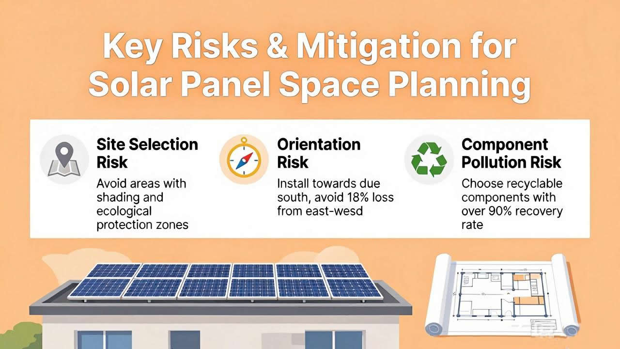
The greatest risks typically lie not in technical aspects, but in land title issues and conflicts with future planning. Before signing a contract, it is essential to confirm whether the land-use plan for the plot explicitly permits “renewable energy generation facilities,” and whether there are specific setback requirements for photovoltaic projects in the area—such as noise and glare restrictions regarding distances from residential areas or major highways.
Another hidden risk is unmarked underground utility lines or archaeological layers. Even if the surface appears open and level, the ground may contain buried fiber-optic trunk lines, gas pipelines, or ancient burial sites. Encountering these during construction typically results in project delays averaging 3–6 months, accompanied by substantial costs for rerouting or archaeological surveys. This risk is often severely underestimated during preliminary surveys—it is recommended to explicitly include a “risk-sharing clause for underground obstacles” in the contract.
Be sure to strictly distinguish between “net deployable area” and “gross lot area” in land lease or purchase contracts. If you pay based solely on gross area but find that 25% is unusable, your land cost per kilowatt will skyrocket. The professional approach is to hire an independent surveyor to issue a terrain usability report and include this report as an annex to the contract.
Choose Yiteng Mounting Systems to Provide the Final Layer of Assurance for Your Space Planning
After precisely calculating all space requirements, the design flexibility of the
solar mounting system becomes the final step in unlocking the site’s potential. Yiteng mounting systems offer customized tilt optimization and tracker solutions; their foundation layout effectively minimizes shadow avoidance distances while reducing the footprint of foundation piers under equivalent wind load conditions. More importantly, Yiteng’s modular structure allows for flexible avoidance of underground obstacles and surface ravines in complex terrain, minimizing “wasted land” caused by sudden changes in topography. Choosing Yiteng means choosing a space-efficiency partner proven through numerous field projects worldwide, ensuring that every acre of land you lease generates the expected electricity revenue.
Frequently Asked Questions (FAQs)
Q1: How many acres of land do I need for a 10 MW ground-mounted solar power plant?
Under typical conditions on flat terrain using fixed mounting systems, the rule of thumb is approximately 4.5 to 6.5 acres per megawatt. A 10 MW project would require 50 to 65 acres of gross area. However, this is only a rough range for early feasibility studies; the final figure depends on latitude, tilt angle, and equipment selection. It is recommended to allow for a ±20% adjustment margin during the design phase.
Q2: How much more land do trackers require compared to fixed-tilt structures?
The land area per megawatt for flat single-axis trackers is typically 15% to 30% higher than that of fixed-tilt structures. The main reason is that trackers require wider east-west spacing to prevent mechanical collisions between adjacent arrays when they rotate to maximum angles, while the north-south shadow avoidance distance is also slightly increased.
Q3: Can sloped land utilize space more efficiently than flat land?
Generally, no. Although sloped land may offer better solar orientation, maintaining level module rows requires more complex pile foundation leveling designs, and the spacing between rows must be increased to prevent shading caused by the slope. The actual deployable area utilization rate is typically 10%–20% lower than on flat land.
Q4: Does all land within the fenced area have to be used for installing solar panels?
Absolutely not. Safety regulations require maintaining a buffer zone of at least 3 meters (10 feet) between the fence and the nearest panel. Additionally, roads, equipment foundations, drainage ditches, and cable trenches will occupy 20% to 30% of the total area. These are necessary and permanent space requirements.
Q5: If land area is insufficient, can the footprint be reduced by increasing the tilt angle of the modules?
No. Increasing the tilt angle extends the shadow cast by the front and rear rows around the winter solstice, which actually requires a larger north-south spacing. When space is limited, the correct approach is to reduce the tilt angle to decrease spacing or use trackers with intelligent algorithms to optimize annual power generation, rather than blindly increasing the tilt angle.


